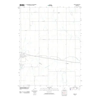
2010 Map of Kirwin
USGS Topo · Published 2010About this map
Kirwin and the small community of Claudell anchor this section of Phillips County, where the plains landscape is defined by extensive water management and a dense network of numbered rural roads. The most prominent feature is the Kirwin Reservoir, created by the Kirwin Dam to control the North Fork Solomon River. This hydraulic system extends eastward via the Kirwin Main Canal, which cuts across the terrain to support local agriculture. The map reflects a classic Midwestern grid, with routes like E Santa Fe Rd and E Yankee Rd bisecting the drainage basins of Deer Creek, Medicine Creek, and Honey Creek. For genealogists and local historians, the Olive Branch Cemetery remains a significant landmark in the northern portion of the quadrangle, situated near the headwaters of West Cedar Creek.
Find a feature on this map
27 named features on this map. Tap any name to fly to it.
Don’t see what you’re looking for? This feature index may not catch every label — zoom into the map to look around manually.
Map Details
Editions of this 2010 Kirwin Map
This is the sole edition of this map. No revisions or reprints were ever made.
Other maps of this area

1893 · Smith Center
USGS Topo · 1:125,000

1893 · Phillipsburg
USGS Topo · 1:125,000

1955 · Beloit
USGS Topo · 1:250,000

1959 · Beloit
USGS Topo · 1:250,000

1961 · Kirwin SE
USGS Topo · 1:24,000

1961 · Gaylord SW
USGS Topo · 1:24,000

1961 · Kirwin SW
USGS Topo · 1:24,000

1972 · Kirwin
USGS Topo · 1:24,000

1972 · Kirwin Reservoir
USGS Topo · 1:24,000

1973 · Kensington
USGS Topo · 1:24,000