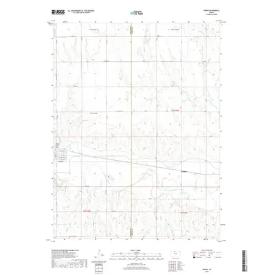
2018 Map of Kirwin
USGS Topo · Published 2018About this map
The N Fork Solomon River meanders across this rural landscape in Phillips and Smith Counties, anchoring a region defined by agricultural heritage and small-town plats. In Kirwin, the grid of streets includes E Main St and E Liberty St, while the small community of Claudell sits further east along the highway. The land is dissected by numerous waterways, including Medicine Cr and Deer Cr, which drain the surrounding prairie into the river valley.
Find a feature on this map
42 named features on this map. Tap any name to fly to it.
Don’t see what you’re looking for? This feature index may not catch every label — zoom into the map to look around manually.
Map Details
Editions of this 2018 Kirwin Map
This is the sole edition of this map. No revisions or reprints were ever made.
Other maps of this area

1893 · Smith Center
USGS Topo · 1:125,000

1893 · Phillipsburg
USGS Topo · 1:125,000

1955 · Beloit
USGS Topo · 1:250,000

1959 · Beloit
USGS Topo · 1:250,000

1961 · Kirwin SE
USGS Topo · 1:24,000

1961 · Gaylord SW
USGS Topo · 1:24,000

1961 · Kirwin SW
USGS Topo · 1:24,000

1972 · Kirwin
USGS Topo · 1:24,000

1972 · Kirwin Reservoir
USGS Topo · 1:24,000

1973 · Kensington
USGS Topo · 1:24,000