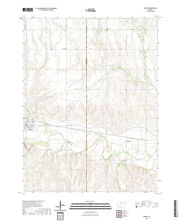
2022 Map of Kirwin
USGS Topo · Published 2022About this map
The N Fork Solomon River defines the lower drainage of this landscape along the border of Phillips and Smith Counties. The town of Kirwin serves as a local hub, organized by a street grid including E Main St and E Washington St, while the community of Claudell sits to the east along the riverbank. This map illustrates the transition from the river valley's complex topography to the surveyed sections of the Kansas plains, where a regular network of roads like E Santa Fe Rd and E Zenith Rd demarcates the agricultural territory. Genealogists and local historians will find value in landmarks such as Olive Branch Cem and the Wyrill Farming Airport, alongside numerous named tributaries like Middle Cedar Cr and Medicine Cr that reveal the fine-grained hydrology of the region.
Find a feature on this map
35 named features on this map. Tap any name to fly to it.
Don’t see what you’re looking for? This feature index may not catch every label — zoom into the map to look around manually.
Map Details
Editions of this 2022 Kirwin Map
This is the sole edition of this map. No revisions or reprints were ever made.
Other maps of this area

1893 · Smith Center
USGS Topo · 1:125,000

1893 · Phillipsburg
USGS Topo · 1:125,000

1955 · Beloit
USGS Topo · 1:250,000

1959 · Beloit
USGS Topo · 1:250,000

1961 · Kirwin SE
USGS Topo · 1:24,000

1961 · Gaylord SW
USGS Topo · 1:24,000

1961 · Kirwin SW
USGS Topo · 1:24,000

1972 · Kirwin
USGS Topo · 1:24,000

1972 · Kirwin Reservoir
USGS Topo · 1:24,000

1973 · Kensington
USGS Topo · 1:24,000