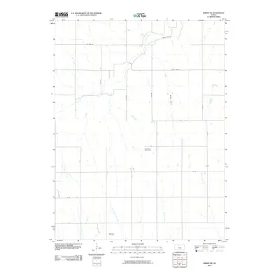
2010 Map of Kirwin SW
USGS Topo · Published 2010About this map
West Hope Cemetery sits as a lonely marker of community history in this rural Phillips County landscape, characterized by a well-defined grid of section roads and numerous drainages. The northern portion of the map is dominated by the hydrology surrounding Catfish Cove and Bow Creek, where the shoreline of the nearby reservoir meets the Kansas prairie. A network of rural routes, including S Kirwin Lake Rd and E Big Bear Rd, provides access to the small agricultural operations and homesteads scattered throughout the terrain. Significant local landmarks like the Baughman Farm Strip reflect the practical aviation and farming needs of this open country, while natural features like Hungry Hollow and Buros Creek define the underlying topography of the High Plains.
Find a feature on this map
23 named features on this map. Tap any name to fly to it.
Don’t see what you’re looking for? This feature index may not catch every label — zoom into the map to look around manually.
Map Details
Editions of this 2010 Kirwin SW Map
This is the sole edition of this map. No revisions or reprints were ever made.
Other maps of this area

1893 · Phillipsburg
USGS Topo · 1:125,000

1896 · Plainville
USGS Topo · 1:125,000

1953 · Woodston NW
USGS Topo · 1:24,000

1953 · Stockton
USGS Topo · 1:24,000

1953 · Woodston
USGS Topo · 1:24,000

1955 · Beloit
USGS Topo · 1:250,000

1959 · Beloit
USGS Topo · 1:250,000

1961 · Kirwin SE
USGS Topo · 1:24,000

1961 · Kirwin SW
USGS Topo · 1:24,000

1972 · Kirwin
USGS Topo · 1:24,000