
1953 Map of Stockton
USGS Topo · Published 1954About this map
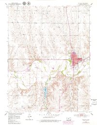
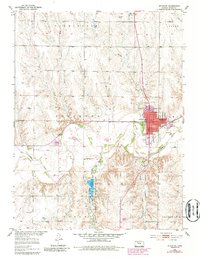
The South Fork Solomon River meanders across this Rooks County landscape, anchoring the regional economy around the town of Stockton. Published in the early 1950s, this survey reveals a rural infrastructure of small country schools like Mt Nebo Sch and Sunny Slope Sch that served the outlying townships of Lanark and Farmington. The Missouri Pacific railroad runs through the heart of Stockton, connecting the grain elevators and oil tanks of the plains to wider markets.
Find a feature on this map
36 named features on this map. Tap any name to fly to it.
Don’t see what you’re looking for? This feature index may not catch every label — zoom into the map to look around manually.
Map Details
Editions of this 1953 Stockton Map
3 editions found
Other maps of this area

1893 · Phillipsburg
USGS Topo · 1:125,000

1896 · Plainville
USGS Topo · 1:125,000

1952 · Webster Dam
USGS Topo · 1:24,000

1953 · Woodston NW
USGS Topo · 1:24,000

1955 · Beloit
USGS Topo · 1:250,000

1959 · Beloit
USGS Topo · 1:250,000

1961 · Kirwin SW
USGS Topo · 1:24,000

1969 · Stockton SW
USGS Topo · 1:24,000

1972 · Glade SW
USGS Topo · 1:24,000
1972 · Glade SE
USGS Topo · 1:24,000