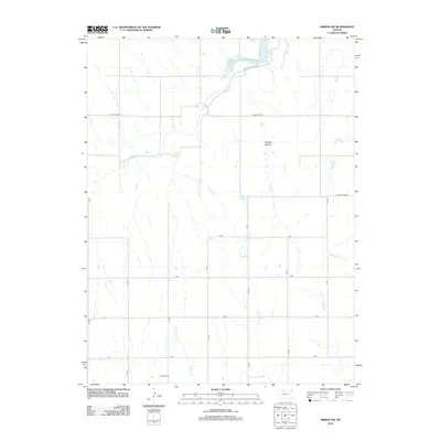
2012 Map of Kirwin SW
USGS Topo · Published 2012About this map
Bow Cr snakes through the northern portion of this landscape, its path forming the prominent Catfish Cove as it flows eastward. This rural section of the High Plains is characterized by a grid of numbered roads, including B Rd and 24 Rd, which define the agricultural sections of the area. In the southern reach, the W Hope Cem stands as a quiet marker of the local community's history near the headwaters of Jim Cr.
Find a feature on this map
22 named features on this map. Tap any name to fly to it.
Don’t see what you’re looking for? This feature index may not catch every label — zoom into the map to look around manually.
Map Details
Editions of this 2012 Kirwin SW Map
This is the sole edition of this map. No revisions or reprints were ever made.
Other maps of this area

1893 · Phillipsburg
USGS Topo · 1:125,000

1896 · Plainville
USGS Topo · 1:125,000

1953 · Woodston NW
USGS Topo · 1:24,000

1953 · Stockton
USGS Topo · 1:24,000

1953 · Woodston
USGS Topo · 1:24,000

1955 · Beloit
USGS Topo · 1:250,000

1959 · Beloit
USGS Topo · 1:250,000

1961 · Kirwin SE
USGS Topo · 1:24,000

1961 · Kirwin SW
USGS Topo · 1:24,000

1972 · Kirwin
USGS Topo · 1:24,000