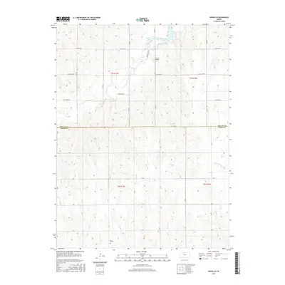
2015 Map of Kirwin SW
USGS Topo · Published 2015About this map
Kirwin Reservoir dominates the northern reaches of this rural landscape where the border of Phillips and Rooks counties meets. The waters of the reservoir reach into Catfish Cove, while the surrounding terrain is defined by the winding course of Bow Cr and several smaller tributaries like Medicine Cr and Douglas Cr. This section of north-central Kansas maintains a strict section-line road grid, despite the depressions of Hungry Hollow and the drainage patterns of the local creeks.
Find a feature on this map
23 named features on this map. Tap any name to fly to it.
Don’t see what you’re looking for? This feature index may not catch every label — zoom into the map to look around manually.
Map Details
Editions of this 2015 Kirwin SW Map
This is the sole edition of this map. No revisions or reprints were ever made.
Other maps of this area

1893 · Phillipsburg
USGS Topo · 1:125,000

1896 · Plainville
USGS Topo · 1:125,000

1953 · Woodston NW
USGS Topo · 1:24,000

1953 · Stockton
USGS Topo · 1:24,000

1953 · Woodston
USGS Topo · 1:24,000

1955 · Beloit
USGS Topo · 1:250,000

1959 · Beloit
USGS Topo · 1:250,000

1961 · Kirwin SE
USGS Topo · 1:24,000

1961 · Kirwin SW
USGS Topo · 1:24,000

1972 · Kirwin
USGS Topo · 1:24,000