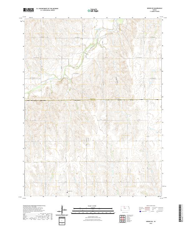
2022 Map of Kirwin SW
USGS Topo · Published 2022About this map
West Hope Cem sits quietly in the southern reaches of this survey, marking the intersection of local family history and the rural prairie landscape of Phillips and Rooks Counties. The terrain is defined by a dense network of drainage systems, including Jim Cr, its eastern branch, E Br Jim Cr, and the appropriately named Hungry Hollow. These seasonal waterways carve through the township sections, creating a rolling topography that dictates the placement of the grid-based road system.
Find a feature on this map
23 named features on this map. Tap any name to fly to it.
Don’t see what you’re looking for? This feature index may not catch every label — zoom into the map to look around manually.
Map Details
Editions of this 2022 Kirwin SW Map
This is the sole edition of this map. No revisions or reprints were ever made.
Other maps of this area

1893 · Phillipsburg
USGS Topo · 1:125,000

1896 · Plainville
USGS Topo · 1:125,000

1953 · Woodston NW
USGS Topo · 1:24,000

1953 · Stockton
USGS Topo · 1:24,000

1953 · Woodston
USGS Topo · 1:24,000

1955 · Beloit
USGS Topo · 1:250,000

1959 · Beloit
USGS Topo · 1:250,000

1961 · Kirwin SE
USGS Topo · 1:24,000

1961 · Kirwin SW
USGS Topo · 1:24,000

1972 · Kirwin
USGS Topo · 1:24,000