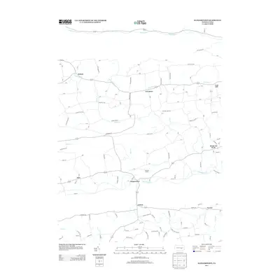
2013 Map of Klingerstown
USGS Topo · Published 2013About this map
Mahantango Cr and its tributaries define the lower Pennsylvania ridge-and-valley geography shown here, where small rural communities are tucked between prominent rises like Fisher Ridge and Chestnut Ridge. The 2013 landscape is dotted with long-established settlements such as Klingerstown, Rebuck, and Hebe, connected by a network of township roads that follow the winding valley floors. This area of Northumberland and Schuylkill counties maintains a distinct agricultural character, with private infrastructure like Schadels Airport situated near the water. Genealogists and local historians can trace the paths of Schwaben Cr and Middle Cr as they pass through historically named hamlets including Greenbrier, Erdman, and the uniquely titled Rough and Ready. The map records a modern view of these persistent rural crossroads, showing the endurance of places like Fearnot and Leck Kill amidst the creeks and ridges.
Find a feature on this map
117 named features on this map. Tap any name to fly to it.
Don’t see what you’re looking for? This feature index may not catch every label — zoom into the map to look around manually.
Map Details
Editions of this 2013 Klingerstown Map
This is the sole edition of this map. No revisions or reprints were ever made.
Other maps of this area

1892 · Lykens
USGS Topo · 1:62,500

1892 · Shamokin
USGS Topo · 1:62,500

1893 · Sunbury
USGS Topo · 1:62,500

1893 · Lykens
USGS Topo · 1:62,500

1893 · Shamokin
USGS Topo · 1:62,500

1893 · Millersburg
USGS Topo · 1:62,500

1943 · Millersburg
USGS Topo · 1:62,500

1943 · Lykens
USGS Topo · 1:62,500

1943 · Shamokin
USGS Topo · 1:62,500

1943 · Sunbury
USGS Topo · 1:62,500
Featured Places
- West Cameron Township, PA
- Hubley Township, PA
- Rough and Ready, Upper Mahantango Township
- Greenbrier, Washington Township
- Fearnot, Hubley Township