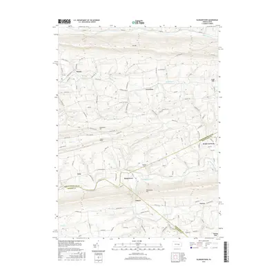
2016 Map of Klingerstown
USGS Topo · Published 2016About this map
Line Mtn and Mahantango Mtn define the corrugated topography of this central Pennsylvania landscape, where narrow valleys dictate the path of settlements and roads. The community of Klingerstown serves as a local hub along the winding Mahantango Creek, positioned near the junction of Northumberland, Schuylkill, and Dauphin counties. The map captures a series of small, dispersed hamlets including Rebuck, Greenbrier, and the evocatively named Rough and Ready, each connected by a network of rural routes like Schwaben Creek Rd and Line Mountain Rd.
Find a feature on this map
82 named features on this map. Tap any name to fly to it.
Don’t see what you’re looking for? This feature index may not catch every label — zoom into the map to look around manually.
Map Details
Editions of this 2016 Klingerstown Map
This is the sole edition of this map. No revisions or reprints were ever made.
Other maps of this area

1892 · Lykens
USGS Topo · 1:62,500

1892 · Shamokin
USGS Topo · 1:62,500

1893 · Sunbury
USGS Topo · 1:62,500

1893 · Lykens
USGS Topo · 1:62,500

1893 · Shamokin
USGS Topo · 1:62,500

1893 · Millersburg
USGS Topo · 1:62,500

1943 · Millersburg
USGS Topo · 1:62,500

1943 · Lykens
USGS Topo · 1:62,500

1943 · Shamokin
USGS Topo · 1:62,500

1943 · Sunbury
USGS Topo · 1:62,500
Featured Places
- West Cameron Township, PA
- Hubley Township, PA
- Rough and Ready, Upper Mahantango Township
- Greenbrier, Washington Township
- Fearnot, Hubley Township