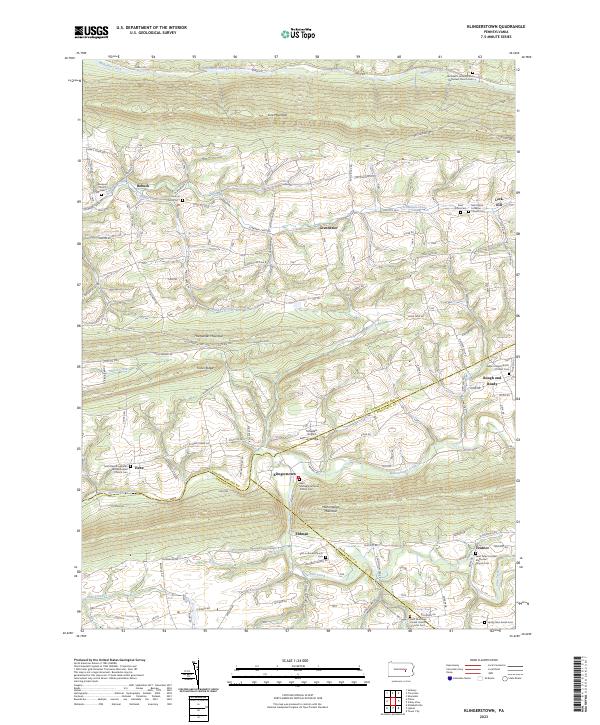
2023 Map of Klingerstown
USGS Topo · Published 2023About this map
The northern reaches of the Mahantango Valley are defined by the parallel ridges of Line Mountain, Hooflander Mountain, and Mahantango Mountain. This agricultural landscape is home to a series of historic villages, including Klingerstown, Rebuck, and Leck Kill, many of which developed around central Lutheran and Reformed congregations. The map records a dense network of family-connected cemeteries and churches, such as Saint Johns Lutheran Church Cem and the Saint Davids Lutheran and Reformed Church Cem near Hebe. The terrain is deeply carved by waterways like Schwaben Creek and Mahantango Creek, which historically dictated the placement of roads such as Klingerstown Rd and State Rte 3010. This modern survey also documents Schadels Airport and the Spring Glen Amish Cem, reflecting the area's continued cultural and functional diversity.
Find a feature on this map
77 named features on this map. Tap any name to fly to it.
Don’t see what you’re looking for? This feature index may not catch every label — zoom into the map to look around manually.
Map Details
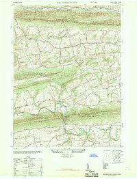
Editions of this 2023 Klingerstown Map
This is the sole edition of this map. No revisions or reprints were ever made.
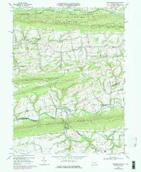
Historical Maps of Upper Mahanoy Township Through Time
3 maps found
Featured Locations
- Lykens Township, PA
- Hubley Township, PA
- West Cameron Township, PA
- Jordan Township, PA
- Upper Mahanoy Township, PA