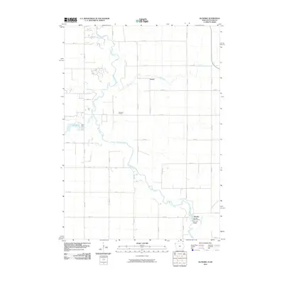
2010 Map of Klondike
USGS Topo · Published 2010About this map
The Big Sioux River meanders across the border between Iowa and South Dakota, serving as the primary geographic corridor for this 2010 survey. Along its banks, the small settlements of Granite and Klondike anchor the rural landscape, which is defined by a dense grid of gravel roads and section-line avenues. The presence of Grandview Cemetery and the Klondike Bridge provides essential points of reference for local historians and genealogists tracking family roots in Lyon County and across the river in South Dakota.
Find a feature on this map
40 named features on this map. Tap any name to fly to it.
Don’t see what you’re looking for? This feature index may not catch every label — zoom into the map to look around manually.
Map Details
Editions of this 2010 Klondike Map
This is the sole edition of this map. No revisions or reprints were ever made.
Other maps of this area

1897 · Canton
USGS Topo · 1:125,000

1900 · Canton
USGS Topo · 1:125,000

1955 · Sioux Falls
USGS Topo · 1:250,000

1958 · Sioux Falls
USGS Topo · 1:250,000

1962 · Klondike
USGS Topo · 1:24,000

1962 · Harrisburg
USGS Topo · 1:24,000

1962 · Canton
USGS Topo · 1:24,000

1962 · Brandon
USGS Topo · 1:24,000

1962 · Sioux Falls East
USGS Topo · 1:24,000

1964 · Canton SW
USGS Topo · 1:24,000