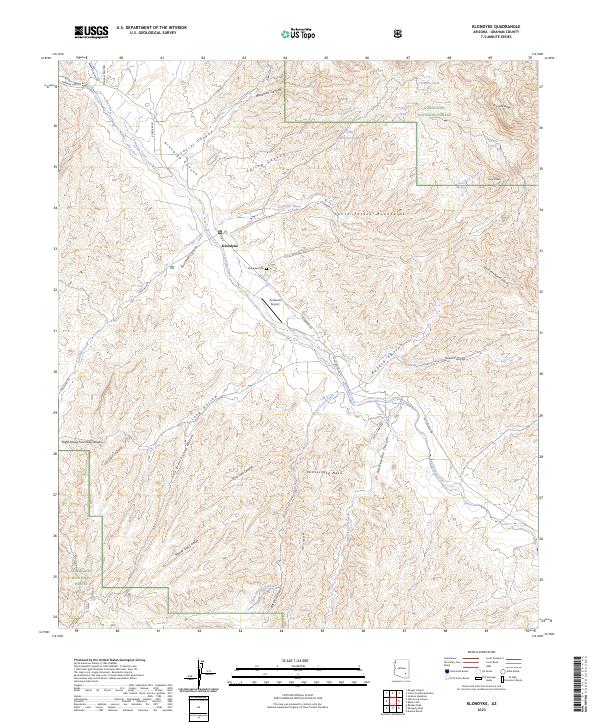
2023 Map of Klondyke
USGS Topo · Published 2023About this map
Klondyke serves as the central settlement in this corner of Graham County, situated where the Aravaipa Creek meets the wide drainage of Klondyke Wash. The landscape is defined by the dramatic ascent into the Santa Teresa Mountains and the protected lands of the Santa Teresa Wilderness. This area, once a remote outpost of ranching and mining life, preserves its character through scattered landmarks like the Klondyke Cem and the small Av Ranch Airport.
Find a feature on this map
49 named features on this map. Tap any name to fly to it.
Don’t see what you’re looking for? This feature index may not catch every label — zoom into the map to look around manually.
Map Details
Editions of this 2023 Klondyke Map
This is the sole edition of this map. No revisions or reprints were ever made.
Other maps of this area

1938 · Galiuro Mts
USGS Topo · 1:48,000

1938 · Klondyke
USGS Topo · 1:48,000

1940 · Sierra Bonita Ranch
USGS Topo · 1:62,500

1942 · Sierra Bonita Ranch
USGS Topo · 1:62,500

1943 · Galiuro Mts
USGS Topo · 1:62,500

1943 · Klondyke
USGS Topo · 1:62,500

1943 · Sierra Bonita Ranch
USGS Topo · 1:62,500

1944 · Jackson Mtn.
USGS Topo · 1:62,500

1946 · Jackson Mtn.
USGS Topo · 1:62,500

1956 · Tucson
USGS Topo · 1:250,000