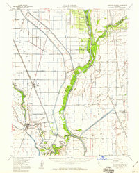
1952 Map of Knights Landing
USGS Topo · Published 1959About this map
The Sacramento River and its critical flood control infrastructure define this central California landscape in the early 1950s. The massive Sutter Bypass and the Knights Landing Ridge Cut illustrate the mid-century engineering required to manage the drainage of the Sutter Basin Drainage Canal. Riverside settlements like Knights Landing and Nicolaus serve as anchors for a region dominated by reclamation efforts and river traffic.
Find a feature on this map
81 named features on this map. Tap any name to fly to it.
Don’t see what you’re looking for? This feature index may not catch every label — zoom into the map to look around manually.
Map Details
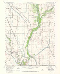
Editions of this 1952 Knights Landing Map
2 editions found
Other maps of this area

1888 · Marysville
USGS Topo · 1:125,000

1888 · Smartsville
USGS Topo · 1:125,000

1891 · Sacramento
USGS Topo · 1:125,000

1891 · Marysville
USGS Topo · 1:125,000

1891 · Smartsville
USGS Topo · 1:125,000

1892 · Sacramento
USGS Topo · 1:125,000

1892 · Smartsville
USGS Topo · 1:125,000

1893 · Sacramento
USGS Topo · 1:125,000

1894 · Smartsville
USGS Topo · 1:125,000

1894 · Marysville
USGS Topo · 1:125,000