Loading...
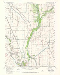
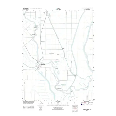
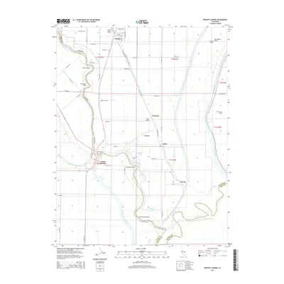
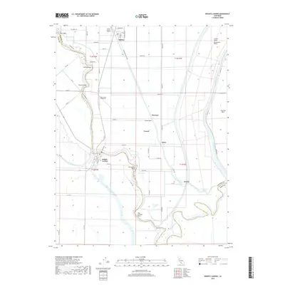
Loading map...1952 Map of Knights Landing
USGS Topo · Published 1968About this map
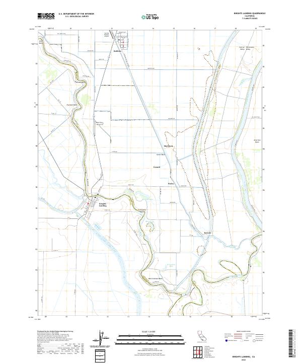
Sutter Bypass and the American Basin dominate this mid-century landscape where agricultural drainage and flood control shaped the development of Sutter and Yolo counties. The Sacramento River meanders through the western half, featuring sharp turns such as Wild Irishman Bend and Fourmile Bend near Knights Landing. This map documents a critical era of irrigation and transport, showing the Southern Pacific Railroad and the Sacramento Northern Railroad cutting across the fertile plains.
Find a feature on this map
78 named features on this map. Tap any name to fly to it.
Don’t see what you’re looking for? This feature index may not catch every label — zoom into the map to look around manually.
Map Details
Date Portrayed1952
Date Published1968
PublisherU.S. Geological Survey
Map TypeTopographic
Scale1:62,500
Physical Dimensions17.03 x 21.08 inches
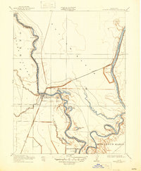
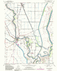
Editions of this 1952 Knights Landing Map
2 editions found
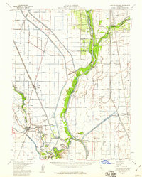
Historical Maps of Marchant Through Time
7 maps found
Featured Locations
Source Details
SourceU.S. Geological Survey
CopyrightPublic Domain