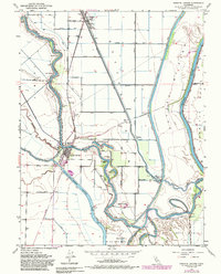
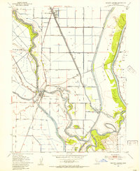
1952 Map of Knights Landing
USGS Topo · Published 1987About this map
Knights Landing serves as the central hub of this mid-century landscape where the Sacramento River and Feather River converge near the boundary of Sutter and Yolo counties. The terrain is defined by complex water management systems designed to control the Sacramento Valley's seasonal flows, including the Sutter Bypass, the Fremont Weir, and the Knights Landing Ridge Cut. The importance of local education and community is evidenced by Knights School and the nearby Cem, while the region's agricultural and industrial infrastructure is visible through numerous water and oil tanks near Robbins. Oxbow lakes and river bends, such as McGriff Lakes, Mary Lake, and Portuguese Bend, trace the shifting paths of the waterways, illustrating the constant negotiation between the natural river course and human engineering in the early 1950s.
Find a feature on this map
42 named features on this map. Tap any name to fly to it.
Don’t see what you’re looking for? This feature index may not catch every label — zoom into the map to look around manually.
Map Details
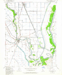
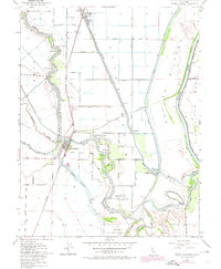
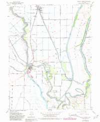
Editions of this 1952 Knights Landing Map
5 editions found
Other maps of this area

1907 · Dunnigan
USGS Topo · 1:62,500

1907 · Woodland
USGS Topo · 1:62,500

1907 · Davisville
USGS Topo · 1:62,500

1910 · Knights Landing
USGS Topo · 1:31,680

1910 · Vernon
USGS Topo · 1:31,680

1910 · Nicolaus
USGS Topo · 1:31,680

1910 · Marcuse
USGS Topo · 1:31,680

1915 · Yolo
USGS Topo · 1:31,680

1915 · Ronda
USGS Topo · 1:31,680
1915 · Kirkville
USGS Topo · 1:31,680