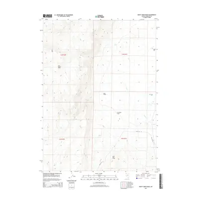
2015 Map of Knott Creek Ranch
USGS Topo · Published 2015About this map
Knott Creek Ranch sits at the eastern edge of a high-desert landscape defined by the intersection of the Idaho Canyon Range and the northern reaches of the Black Rock Range. In this 2015 topography, the drainage patterns of Craine Cr and West Cr illustrate the complex watershed management required in this arid corner of Humboldt County. The map details the elevation shifts from the heights of Big Mtn down through Idaho Canyon and Little Idaho Canyon, terminating in an Alkali Flat. Human presence is minimal and practical, centered on the ranch and the primary thoroughfares of Summit Lake Rd and Pearl Creek Rd. Essential water sources for livestock and local wildlife are documented at Indian Spring and West Spring, providing a clear look at the foundational resources for ranching in the Great Basin.
Find a feature on this map
18 named features on this map. Tap any name to fly to it.
Don’t see what you’re looking for? This feature index may not catch every label — zoom into the map to look around manually.
Map Details
Editions of this 2015 Knott Creek Ranch Map
This is the sole edition of this map. No revisions or reprints were ever made.
Other maps of this area

1886 · Disaster
USGS Topo · 1:250,000

1889 · Long Valley
USGS Topo · 1:250,000

1893 · Disaster
USGS Topo · 1:250,000

1954 · Vya
USGS Topo · 1:250,000

1958 · Vya
USGS Topo · 1:250,000

1962 · Vya
USGS Topo · 1:250,000

1965 · Railroad Point
USGS Topo · 1:62,500

1965 · Idaho Canyon
USGS Topo · 1:62,500

1965 · Rock Spring Table
USGS Topo · 1:62,500

1966 · Big Spring Butte
USGS Topo · 1:62,500