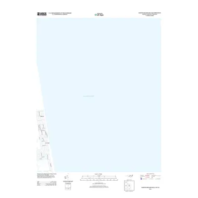
2013 Map of Knotts Island OE E
USGS Topo · Published 2013About this map
Carova and the coastal settlement of Sand Ridge occupy a thin strip of the Outer Banks on this 2013 survey, defined by their immediate proximity to the Atlantic Ocean. The landscape is dominated by a grid of beach-access roads and residential lanes, including Sandpiper Rd and Ocean Pearl Rd, which suggest a vacation-oriented development pattern where paved infrastructure meets the shifting sands. This particular quadrangle captures the northernmost reach of the North Carolina coast before it crosses into Virginia, showcasing a geography where human habitation is entirely dictated by the shoreline. The road network, featuring names like False Cape Rd and Swan Island Rd, provides a clear view of the local topography and the spatial arrangement of this remote coastal community at the start of the 21st century.
Find a feature on this map
19 named features on this map. Tap any name to fly to it.
Don’t see what you’re looking for? This feature index may not catch every label — zoom into the map to look around manually.
Map Details
Editions of this 2013 Knotts Island OE E Map
This is the sole edition of this map. No revisions or reprints were ever made.
Other maps of this area

1893 · Virginia Beach
USGS Topo · 1:125,000

1916 · Back Bay
USGS Topo · 1:62,500

1940 · Barco
USGS Topo · 1:62,500

1943 · Back Bay
USGS Topo · 1:62,500

1946 · Eastville
USGS Topo · 1:250,000

1946 · Currituck Sound
USGS Topo · 1:250,000
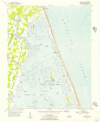
1953 · North Bay
USGS Topo · 1:24,000
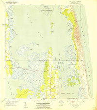
1954 · Knotts Island
USGS Topo · 1:24,000

1961 · Eastville
USGS Topo · 1:250,000

1966 · Eastville
USGS Topo · 1:250,000