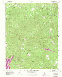
1962 Map of Knowles
USGS Topo · Published 1981About this map
Knowles sits as a primary settlement point in this Sierra Nevada foothill landscape, where the local economy and geography were long defined by granite extraction. Evidence of this industrial history is visible at the Raymond Quarry and Madera Quarry, while the surrounding terrain is marked by prominent peaks such as Buford Mountain and Lilley Mtn. The Fresno River serves as a central artery through the quadrangle, with notable points of interest including the Fresno Crossing and a Gaging Sta.
Find a feature on this map
31 named features on this map. Tap any name to fly to it.
Don’t see what you’re looking for? This feature index may not catch every label — zoom into the map to look around manually.
Map Details
Editions of this 1962 Knowles Map
2 editions found
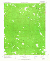
Other maps of this area

1912 · Mariposa
USGS Topo · 1:125,000

1916 · Sulphur Springs
USGS Topo · 1:24,000

1919 · Sulphur Springs
USGS Topo · 1:31,680

1919 · Little Table Mountain
USGS Topo · 1:31,680

1921 · Daulton
USGS Topo · 1:31,680

1942 · Raymond
USGS Topo · 1:62,500

1942 · Daulton
USGS Topo · 1:24,000

1942 · Little Table Mountain
USGS Topo · 1:24,000

1942 · Millerton Lake
USGS Topo · 1:62,500

1944 · Raymond
USGS Topo · 1:62,500