
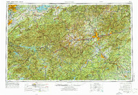
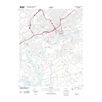
1955 Map of Knoxville
USGS Topo · Published 1955About this map
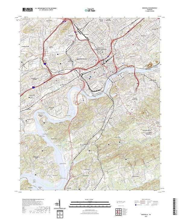
Mt Mitchell and Clingmans Dome anchor this expansive mid-century view across the Southern Appalachians, capturing the region during a period of significant hydroelectric development and forestry management. The landscape is defined by the massive reservoirs of the Tennessee Valley Authority, including Fontana Lake, Douglas Lake, and Hiwassee Lake, which reshaped the river valleys of the French Broad River and its tributaries. This era shows the established footprint of the Great Smoky Mountains National Park and the adjacent Cherokee Indian Reservation, with the rising tourism gateways of Gatlinburg and Bryson City clearly marked.
Find a feature on this map
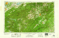
66 named features on this map. Tap any name to fly to it.
Don’t see what you’re looking for? This feature index may not catch every label — zoom into the map to look around manually.
Map Details
Editions of this 1955 Knoxville Map
This is the sole edition of this map. No revisions or reprints were ever made.
Historical Maps of Knoxville Through Time
21 maps found

1886 Knoxville
Knox County, TN

1892 Knoxville
Knox County, TN

1894 Knoxville
Knox County, TN

1895 Knoxville
Knox County, TN
1901 Knoxville
Knox County, TN

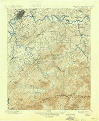
1935 Knoxville
Knox County, TN
1936 Knoxville
Knox County, TN
1942 Knoxville
Knox County, TN
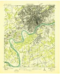
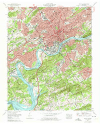
1953 Knoxville
Knox County, TN
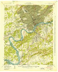
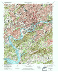
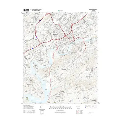
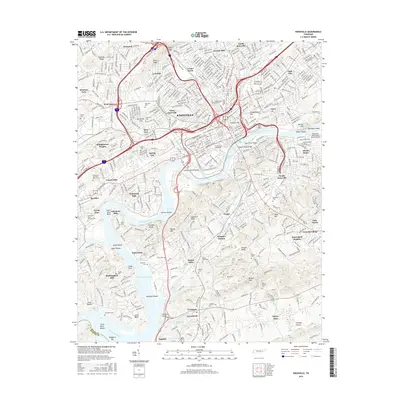
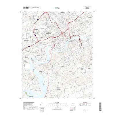
1955 Knoxville
Knox County, TN
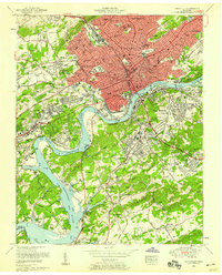
1957 Knoxville
Knox County, TN
1960 Knoxville
Knox County, TN

1964 Knoxville
Knox County, TN
1966 Knoxville
Knox County, TN
1978 Knoxville
Knox County, TN

1983 Knoxville
Knox County, TN
2010 Knoxville
Knox County, TN
2014 Knoxville
Knox County, TN
2016 Knoxville
Knox County, TN
2019 Knoxville
Knox County, TN
2022 Knoxville
Knox County, TN