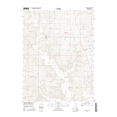
2014 Map of Knoxville
USGS Topo · Published 2014About this map
Crooked River snakes through the center of this rural landscape, joined by numerous tributaries like Cockerel Cr and Rocky Fork. The settlement patterns here in northern Ray County are defined by small hamlets and family-associated sites. In the west-central portion, Sandals is marked alongside the Sandals Cemetery, while Knoxville sits further east. The map provides significant detail for genealogists and local historians, capturing the locations of ancestral burial grounds including Mayes Cemetery and Maddux Cemetery. The terrain is deeply incised by watercourses, with Davis Br and Fire Br cutting through the uplands between the larger river valleys. A network of local roads such as McKee Rd and Taylor Rd connects these agricultural lands and small communities.
Find a feature on this map
68 named features on this map. Tap any name to fly to it.
Don’t see what you’re looking for? This feature index may not catch every label — zoom into the map to look around manually.
Map Details
Editions of this 2014 Knoxville Map
This is the sole edition of this map. No revisions or reprints were ever made.
Other maps of this area

1889 · Lexington
USGS Topo · 1:125,000

1894 · Independence
USGS Topo · 1:125,000

1924 · Polo
USGS Topo · 1:62,500

1924 · Braymer
USGS Topo · 1:62,500

1950 · Kansas City
USGS Topo · 1:250,000

1953 · Moberly
USGS Topo · 1:250,000

1954 · Kansas City
USGS Topo · 1:250,000

1954 · Moberly
USGS Topo · 1:250,000

1956 · Kansas City
USGS Topo · 1:250,000

1957 · Moberly
USGS Topo · 1:250,000