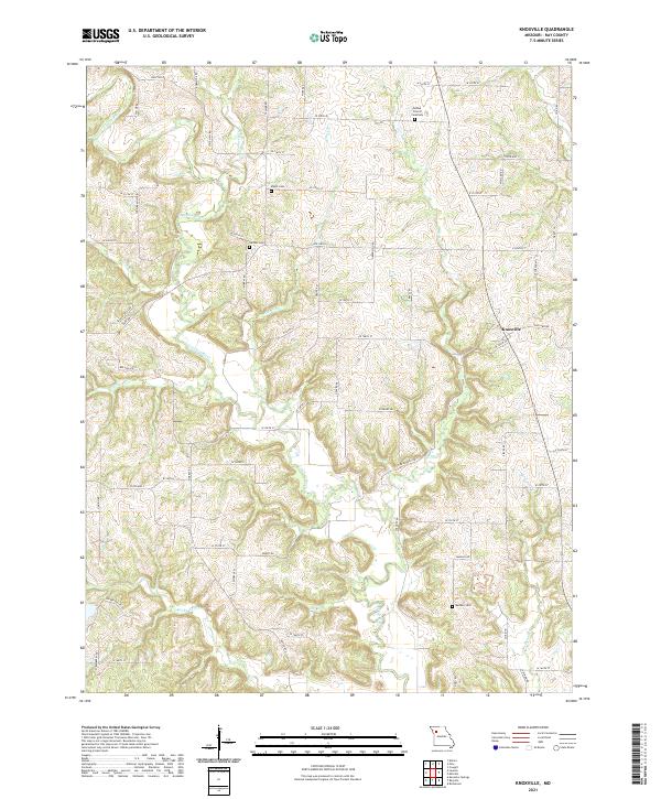
2021 Map of Knoxville
USGS Topo · Published 2021About this map
Knoxville serves as the central hub for this Ray County landscape, where the town site is surrounded by a network of established family burial grounds and rural religious sites. The area is defined by the winding course of the Crooked River, which is fed by numerous tributaries including Cockerel Cr, Fire Br, and Rocky Fork. These waterways create a dissected terrain that has historically dictated the placement of local roads and farmsteads.
Find a feature on this map
69 named features on this map. Tap any name to fly to it.
Don’t see what you’re looking for? This feature index may not catch every label — zoom into the map to look around manually.
Map Details
Editions of this 2021 Knoxville Map
This is the sole edition of this map. No revisions or reprints were ever made.
Other maps of this area

1889 · Lexington
USGS Topo · 1:125,000

1894 · Independence
USGS Topo · 1:125,000

1924 · Polo
USGS Topo · 1:62,500

1924 · Braymer
USGS Topo · 1:62,500

1950 · Kansas City
USGS Topo · 1:250,000

1953 · Moberly
USGS Topo · 1:250,000

1954 · Kansas City
USGS Topo · 1:250,000

1954 · Moberly
USGS Topo · 1:250,000

1956 · Kansas City
USGS Topo · 1:250,000

1957 · Moberly
USGS Topo · 1:250,000