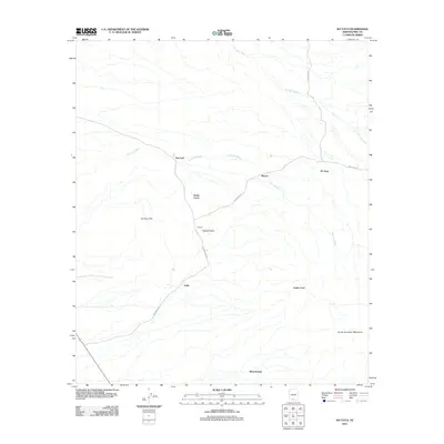
2011 Map of Ko Vaya
USGS Topo · Published 2011About this map
Santa Lucia and Ko Vaya are central nodes in this Pima County landscape, where several distinct settlements are connected by a network of local roads including Indian Rte 34 and Indian Rte 30. The terrain is defined by the prominent Ko Vaya Hills and the reaching slopes of the South Comobari Mountains to the southeast. Arid drainage patterns are clearly visible through the courses of the Ko Vaya Wash and San Luis Wash, which dictate the placement of small communities like San Luis and Rincon. The presence of several distinct place names, such as Nolic and Wickchoupal, provides a clear view of the dispersed settlement patterns in this part of Arizona during the early 21st century. The map also highlights the isolation of landmarks like Picacho Peak, which stands as a significant waypoint between the established routes.
Find a feature on this map
16 named features on this map. Tap any name to fly to it.
Don’t see what you’re looking for? This feature index may not catch every label — zoom into the map to look around manually.
Map Details
Editions of this 2011 Ko Vaya Map
This is the sole edition of this map. No revisions or reprints were ever made.
Other maps of this area

1934 · Silver Bell
USGS Topo · 1:125,000

1937 · Comobabi
USGS Topo · 1:48,000

1941 · Sells
USGS Topo · 1:62,500

1942 · Comobabi
USGS Topo · 1:62,500

1943 · Sells
USGS Topo · 1:62,500

1943 · Fresnal
USGS Topo · 1:125,000

1953 · Ajo
USGS Topo · 1:250,000

1954 · Sonoyta
USGS Topo · 1:250,000

1956 · Nogales
USGS Topo · 1:250,000

1956 · Tucson
USGS Topo · 1:250,000