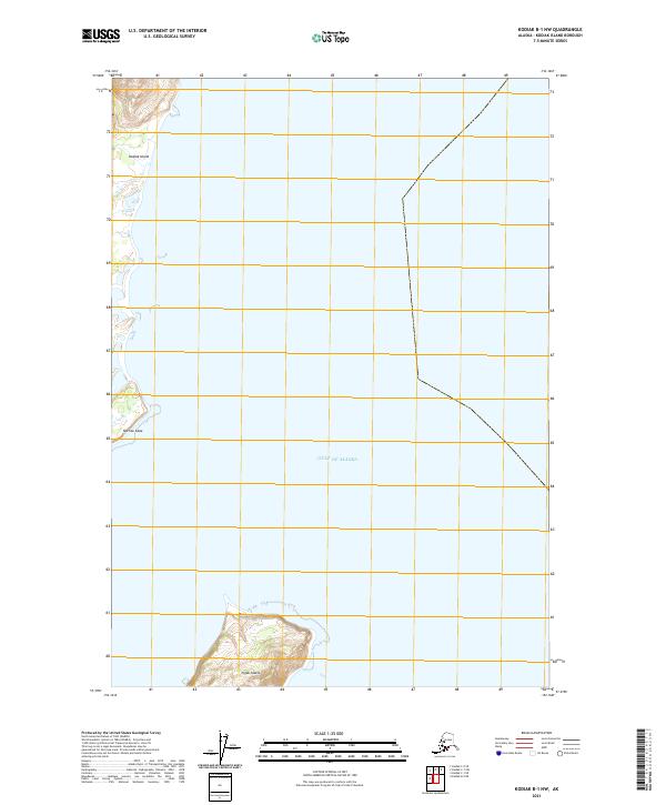
2021 Map of Kodiak B-1 NW
USGS Topo · Published 2021About this map
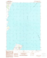
Kodiak Island meets the turbulent Gulf of Alaska at this eastern coastal reach, defined by sharp headlands and offshore islands. The landscape is dominated by Narrow Cape, a prominent coastal feature that juts into the open water, while to the south, the isolated topography of Ugak Island sits separated from the main landmass. This 2021 survey illustrates a remote and maritime-focused environment where the land transitions abruptly into the sea. The map traces the public land survey system through townships T.31s.R.19w. and t32s r19w, providing a precise record of these rugged coastal boundaries. This data captures the precise shoreline and elevation contours of the region before further natural coastal erosion or shifts in the maritime landscape occur.
Find a feature on this map
6 named features on this map. Tap any name to fly to it.
Don’t see what you’re looking for? This feature index may not catch every label — zoom into the map to look around manually.
Map Details
Editions of this 2021 Kodiak B-1 NW Map
This is the sole edition of this map. No revisions or reprints were ever made.
Other maps of this area

1949 · Kodiak C-2
USGS Topo · 1:63,360

1949 · Kodiak B-1 and B-2
USGS Topo · 1:63,360

1949 · Kodiak C-1
USGS Topo · 1:63,360

1951 · Kodiak B-1 and B-2
USGS Topo · 1:63,360

1951 · Kodiak C-1
USGS Topo · 1:63,360

1952 · Kodiak
USGS Topo · 1:250,000
1987 · Kodiak C-1 SW
USGS Topo · 1:25,000
1987 · Kodiak B-2 NE
USGS Topo · 1:25,000
1987 · Kodiak C-1 SE
USGS Topo · 1:25,000
1987 · Kodiak B-1 NW
USGS Topo · 1:25,000