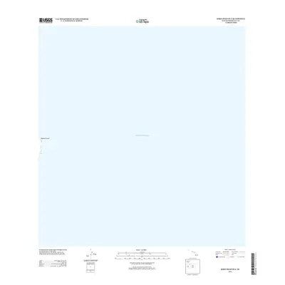
2013 Map of Koko Head OE E
USGS Topo · Published 2013About this map
Makapu‘u Point marks the easternmost terrestrial edge of this map, reaching out into the Pacific Ocean. This coastal boundary represents the very limit of the O‘ahu coastline, where the land meets the deep waters of the Pacific. Unlike many interior maps, the focus here is almost entirely on the marine environment, documenting the vast open water that defines the Hawaiian archipelago's position. The minimal land area provides a precise reference point for the maritime approach to Honolulu, capturing the sheer scale of the sea in relation to the island's prominent headlands.
Find a feature on this map
2 named features on this map. Tap any name to fly to it.
Don’t see what you’re looking for? This feature index may not catch every label — zoom into the map to look around manually.
Map Details
Editions of this 2013 Koko Head OE E Map
This is the sole edition of this map. No revisions or reprints were ever made.
Other maps of this area

1952 · Koko Head
USGS Topo · 1:24,000

1952 · Mokapu
USGS Topo · 1:24,000

1954 · Oahu
USGS Topo · 1:250,000

1959 · Mokapu
USGS Topo · 1:24,000

1959 · Koko Head
USGS Topo · 1:24,000

1961 · Oahu
USGS Topo · 1:250,000

1965 · Oahu
USGS Topo · 1:250,000
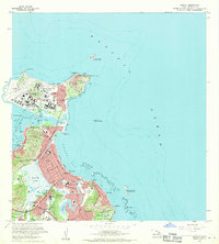
1968 · Mokapu
USGS Topo · 1:24,000
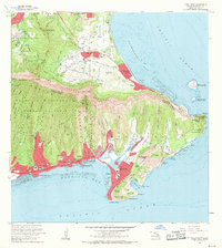
1969 · Koko Head
USGS Topo · 1:24,000
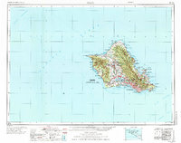
1970 · Oahu
USGS Topo · 1:250,000