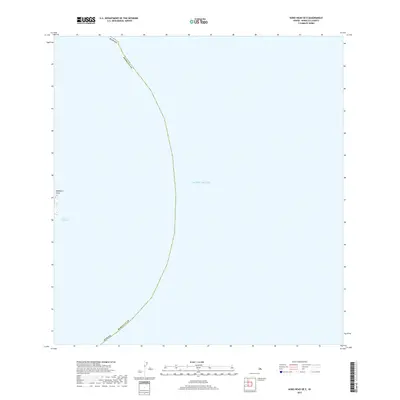
2017 Map of Koko Head OE E
USGS Topo · Published 2017About this map
Makapu'u Point anchors the western edge of this hydrographic-focused survey, marking the easternmost tip of Oahu as it meets the deep waters of the Kaiwi Channel. Most of the area is dominated by the Pacific Ocean, reflecting the coastal geography where Honolulu County’s maritime boundaries extend into the sea. The map documents the precise transition from the rocky headlands of the island to the open channel, a critical navigational passage between the islands. While primarily an oceanic sheet, it captures the high-water mark and the immediate coastal topography that has historically defined this prominent Hawaiian landmark.
Find a feature on this map
4 named features on this map. Tap any name to fly to it.
Don’t see what you’re looking for? This feature index may not catch every label — zoom into the map to look around manually.
Map Details
Editions of this 2017 Koko Head OE E Map
This is the sole edition of this map. No revisions or reprints were ever made.
Other maps of this area

1952 · Koko Head
USGS Topo · 1:24,000

1952 · Mokapu
USGS Topo · 1:24,000

1954 · Oahu
USGS Topo · 1:250,000

1959 · Mokapu
USGS Topo · 1:24,000

1959 · Koko Head
USGS Topo · 1:24,000

1961 · Oahu
USGS Topo · 1:250,000

1965 · Oahu
USGS Topo · 1:250,000
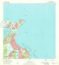
1968 · Mokapu
USGS Topo · 1:24,000
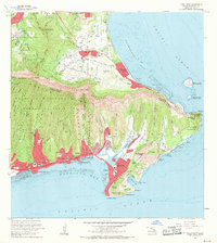
1969 · Koko Head
USGS Topo · 1:24,000
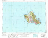
1970 · Oahu
USGS Topo · 1:250,000