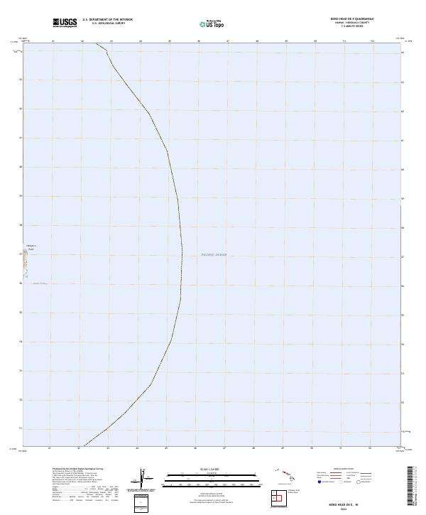
2024 Map of Koko Head OE E
USGS Topo · Published 2024About this map
Makapu'u Point marks the westernmost edge of this maritime-focused survey, where the terrestrial terrain of Oahu gives way to the vast expanse of the Pacific Ocean. The map primarily documents the waters of the Kaiwi Channel, a critical waterway separating the islands of Oahu and Molokai. This edition reflects the modern hydrographic and topographic state of this coastal boundary as of 2024, emphasizing the isolation of the point against the surrounding sea. Because the map covers the far eastern offshore area of the Koko Head quadrangle, it serves as a specific record of the navigational approaches and the immediate shoreline interface at one of Honolulu County's most prominent geographic landmarks.
Find a feature on this map
3 named features on this map. Tap any name to fly to it.
Don’t see what you’re looking for? This feature index may not catch every label — zoom into the map to look around manually.
Map Details
Editions of this 2024 Koko Head OE E Map
This is the sole edition of this map. No revisions or reprints were ever made.
Other maps of this area

1952 · Koko Head
USGS Topo · 1:24,000

1952 · Mokapu
USGS Topo · 1:24,000

1954 · Oahu
USGS Topo · 1:250,000

1959 · Mokapu
USGS Topo · 1:24,000

1959 · Koko Head
USGS Topo · 1:24,000

1961 · Oahu
USGS Topo · 1:250,000

1965 · Oahu
USGS Topo · 1:250,000
1968 · Mokapu
USGS Topo · 1:24,000
1969 · Koko Head
USGS Topo · 1:24,000
1970 · Oahu
USGS Topo · 1:250,000