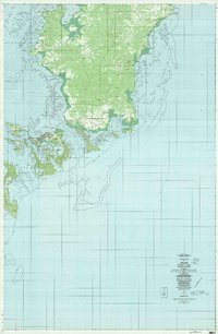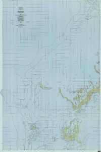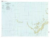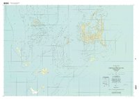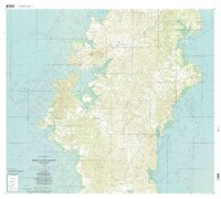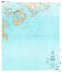
2000 Map of Koror
USGS Topo · Published 2004About this map
The islands of Koror Municipality and Airai Municipality form the administrative and economic center of Palau at the start of the 21st century. This survey details the complex geography of the archipelago, where the modern infrastructure of Palau International Airport and the Koror-Babeldaob Bridge connects the primary population centers. The urban landscape is dense with named neighborhoods such as Ngerbeched, Medalaii, and Ngerchemai, while the surrounding waters of Malakal Harbor and Toachel Mid are defined by intricate reef systems. The map also captures essential local landmarks, from the National Hospital and Communication Towers to the distinctive limestone formations of the Chelbacheb (Rock Islands). This topographic record provides a clear view of the transition between developed coastal settlements and the diverse marine environments of the Pacific Ocean.
Find a feature on this map
48 named features on this map. Tap any name to fly to it.
Don’t see what you’re looking for? This feature index may not catch every label — zoom into the map to look around manually.
Map Details
Editions of this 2000 Koror Map
This is the sole edition of this map. No revisions or reprints were ever made.