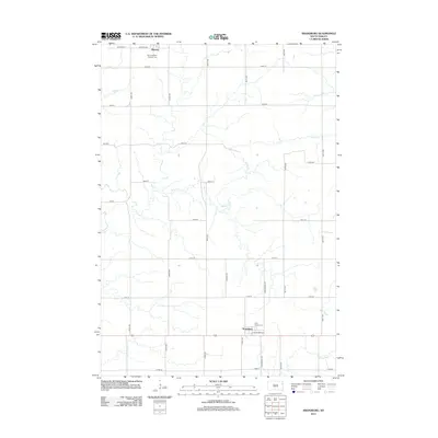
2012 Map of Kranzburg
USGS Topo · Published 2012About this map
Waverly and Kranzburg anchor this section of eastern South Dakota, representing small-town life along the grid of the northern plains. The landscape is defined by the winding course of Willow Cr, which meanders across the central township, and Stray Horse Cr in the south. These watercourses break the geometry of the agricultural road network, creating distinct pockets of terrain. Religious and genealogical history is centered at Saint Joseph's Catholic Cem near the northern border and Holy Rosary Cem to the south. The proximity of these settlements to major thoroughfares like Central Ave and E Saint Mary St reflects a classic prairie development pattern where community life revolved around the parish church and the local grain elevator, even as the region transitioned into the twenty-first century.
Find a feature on this map
28 named features on this map. Tap any name to fly to it.
Don’t see what you’re looking for? This feature index may not catch every label — zoom into the map to look around manually.
Map Details
Editions of this 2012 Kranzburg Map
This is the sole edition of this map. No revisions or reprints were ever made.
Other maps of this area

1953 · Milbank
USGS Topo · 1:250,000

1953 · Watertown
USGS Topo · 1:250,000

1958 · Milbank
USGS Topo · 1:250,000

1958 · Watertown
USGS Topo · 1:250,000

1969 · Watertown SE
USGS Topo · 1:24,000

1969 · Watertown East
USGS Topo · 1:24,000

1970 · Kranzburg SW
USGS Topo · 1:24,000

1970 · Kranzburg
USGS Topo · 1:24,000

1970 · Bemis
USGS Topo · 1:24,000

1970 · Goodwin
USGS Topo · 1:24,000