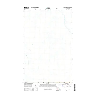
2014 Map of Ksanka Peak OE N
USGS Topo · Published 2014About this map
Wigwam River meanders through this portion of the East Kootenay region, marking a landscape defined by its complex drainage network. This area, situated along the international border between Montana and British Columbia, shows the concentrated mountain hydrology characteristic of the northern Rockies. The terrain is etched with numerous smaller watercourses, including Miller Cr, Rainbow Cr, and Blacktail Cr, which feed into the larger river system. Teds Lake sits as a isolated alpine feature, suggesting the glaciated history of these highlands. The map provides a precise record of the natural topography in a region where few permanent settlements or roads have been established, making it a primary resource for studying the untouched wilderness and watershed patterns of the 21st-century borderlands.
Find a feature on this map
5 named features on this map. Tap any name to fly to it.
Don’t see what you’re looking for? This feature index may not catch every label — zoom into the map to look around manually.
Map Details
Editions of this 2014 Ksanka Peak OE N Map
This is the sole edition of this map. No revisions or reprints were ever made.
Other maps of this area

1913 · Stryker
USGS Topo · 1:125,000

1916 · Stryker
USGS Topo · 1:125,000

1957 · Kalispell
USGS Topo · 1:250,000

1960 · Kalispell
USGS Topo · 1:250,000

1961 · Kalispell
USGS Topo · 1:250,000

1963 · Eureka North
USGS Topo · 1:24,000

1963 · Ksanka Peak
USGS Topo · 1:24,000

1963 · Stahl Peak
USGS Topo · 1:24,000

1979 · Yaak River
USGS Topo · 1:100,000
1981 · Whitefish Range
USGS Topo · 1:100,000