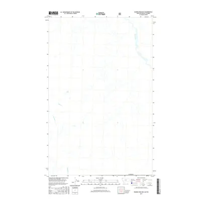
2017 Map of Ksanka Peak OE N
USGS Topo · Published 2017About this map
The Wigwam River winds through this high-latitude terrain just north of the United States border in British Columbia. This survey captures a drainage landscape dominated by mountain streams and isolated water bodies, reflecting a wilderness area where the topographic relief dictates the flow of several named creeks. Small upland catchments like Teds Lake feed into a network of tributaries including Miller Creek and Rainbow Creek. Further south, Blacktail Creek flows toward the international boundary with Canada, illustrating the hydrologic connectivity across the border. The map is a precise record of the remote back-country waterways that define the Regional District of East Kootenay before they join larger river systems to the south.
Find a feature on this map
6 named features on this map. Tap any name to fly to it.
Don’t see what you’re looking for? This feature index may not catch every label — zoom into the map to look around manually.
Map Details
Editions of this 2017 Ksanka Peak OE N Map
This is the sole edition of this map. No revisions or reprints were ever made.
Other maps of this area

1913 · Stryker
USGS Topo · 1:125,000

1916 · Stryker
USGS Topo · 1:125,000

1957 · Kalispell
USGS Topo · 1:250,000

1960 · Kalispell
USGS Topo · 1:250,000

1961 · Kalispell
USGS Topo · 1:250,000

1963 · Eureka North
USGS Topo · 1:24,000

1963 · Ksanka Peak
USGS Topo · 1:24,000

1963 · Stahl Peak
USGS Topo · 1:24,000

1979 · Yaak River
USGS Topo · 1:100,000
1981 · Whitefish Range
USGS Topo · 1:100,000