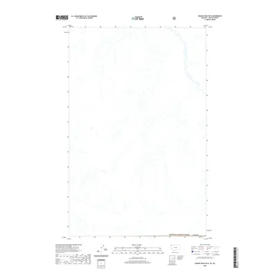
2020 Map of Ksanka Peak OE N
USGS Topo · Published 2020About this map
Canada and the northern reaches of the Kootenai National Forest meet along this international border survey, centered on the complex drainage patterns of the upper Kootenai River basin. The landscape is defined by a dense network of mountain streams and steep drainages that flow into the larger river system, reflecting the high-elevation topography of the British Columbia and Montana borderlands. As a US Topo sheet from 2020, this map records the hydrological data and forest boundaries of this wilderness area. The absence of roads and settlements emphasizes the primitive state of this trans-border terrain, where the primary human-defined feature is the surveyed line separating two nations.
Find a feature on this map
2 named features on this map. Tap any name to fly to it.
Don’t see what you’re looking for? This feature index may not catch every label — zoom into the map to look around manually.
Map Details
Editions of this 2020 Ksanka Peak OE N Map
This is the sole edition of this map. No revisions or reprints were ever made.
Other maps of this area

1913 · Stryker
USGS Topo · 1:125,000

1916 · Stryker
USGS Topo · 1:125,000

1957 · Kalispell
USGS Topo · 1:250,000

1960 · Kalispell
USGS Topo · 1:250,000

1961 · Kalispell
USGS Topo · 1:250,000

1963 · Eureka North
USGS Topo · 1:24,000

1963 · Ksanka Peak
USGS Topo · 1:24,000

1963 · Stahl Peak
USGS Topo · 1:24,000

1979 · Yaak River
USGS Topo · 1:100,000
1981 · Whitefish Range
USGS Topo · 1:100,000