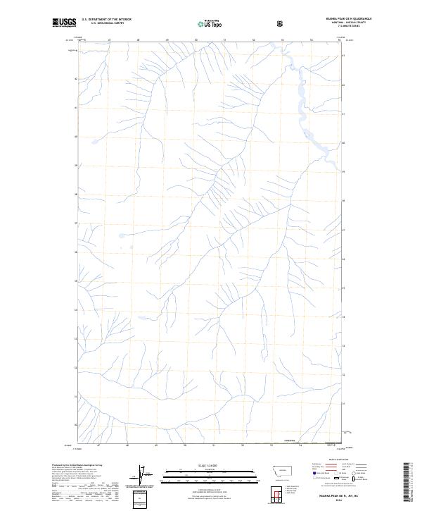
2024 Map of Ksanka Peak OE N
USGS Topo · Published 2024About this map
The northern edge of Montana meets the international boundary of Canada in this high-altitude wilderness area. Located in Lincoln County, the landscape is defined by its complex drainage systems and the high peaks that straddle the border. This 2024 survey depicts the natural state of the terrain as it remains today, emphasizing the hydrography of the high country. Without the presence of developed roads or major settlements, the map focuses on the raw topography and the historical line of the border itself.
Find a feature on this map
1 named feature on this map. Tap any name to fly to it.
Don’t see what you’re looking for? This feature index may not catch every label — zoom into the map to look around manually.
Map Details
Editions of this 2024 Ksanka Peak OE N Map
This is the sole edition of this map. No revisions or reprints were ever made.
Other maps of this area

1913 · Stryker
USGS Topo · 1:125,000

1916 · Stryker
USGS Topo · 1:125,000

1957 · Kalispell
USGS Topo · 1:250,000

1960 · Kalispell
USGS Topo · 1:250,000

1961 · Kalispell
USGS Topo · 1:250,000

1963 · Eureka North
USGS Topo · 1:24,000

1963 · Ksanka Peak
USGS Topo · 1:24,000

1963 · Stahl Peak
USGS Topo · 1:24,000

1979 · Yaak River
USGS Topo · 1:100,000
1981 · Whitefish Range
USGS Topo · 1:100,000