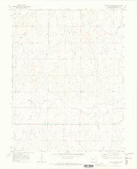
1970 Map of Kuhns Crossing
USGS Topo · Published 1973About this map
Kuhns Crossing serves as the focal point of this Elbert County landscape, where the high plains are deeply incised by a network of seasonal drainages. Established drainage patterns, such as those of East Bijou Creek and Wilson Creek, define the movement across the territory, which was field-checked in 1970. The terrain is characterized by rolling ranch land and prominent elevations like Rocky Peak, which rises above the surrounding gulches.
Find a feature on this map
11 named features on this map. Tap any name to fly to it.
Don’t see what you’re looking for? This feature index may not catch every label — zoom into the map to look around manually.
Map Details
Editions of this 1970 Kuhns Crossing Map
This is the sole edition of this map. No revisions or reprints were ever made.
Other maps of this area

1891 · Limon
USGS Topo · 1:125,000

1892 · Limon
USGS Topo · 1:125,000

1953 · Denver
USGS Topo · 1:250,000

1954 · Limon
USGS Topo · 1:250,000

1957 · Denver
USGS Topo · 1:250,000

1957 · Limon
USGS Topo · 1:250,000

1958 · Limon
USGS Topo · 1:250,000

1958 · Denver
USGS Topo · 1:250,000

1960 · Denver
USGS Topo · 1:250,000

1970 · Agate
USGS Topo · 1:24,000