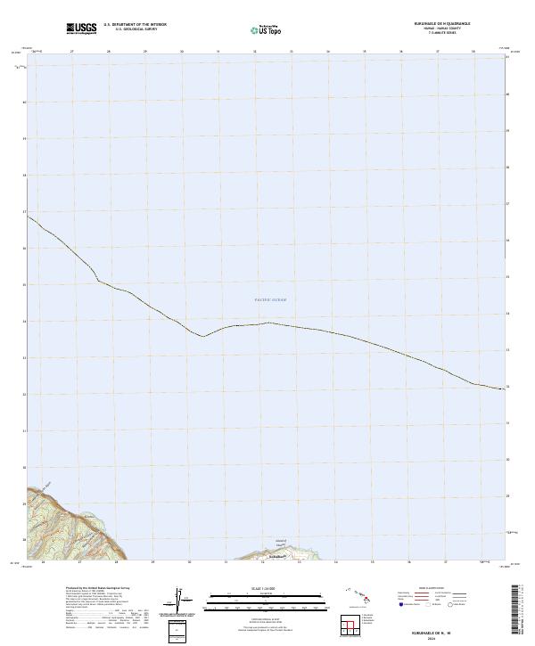
2024 Map of Kukuihaele OE N
USGS Topo · Published 2024About this map
Kukuihaele occupies the southern edge of this coastal survey, where the dramatic cliffs of the Island of Hawai'i meet the Pacific Ocean. This northeastern Hamakua Coast environment is defined by a series of steep, parallel drainages that have carved the land into deep gulches and ridgelines. Waterways such as Naluea Stream, Muliwai Stream, and the Waipahoehoe Stream descend rapidly toward the sea, creating a landscape of high relief. The coastal terrain is punctuated by named features like Ainahou and several prominent ravines, including Manuwaikaalio Gulch and Popala Gulch. The sparse settlement pattern reflects the challenging topography of this windward region, where land use is dictated by the sharp transitions between high upland areas and the ocean below.
Find a feature on this map
14 named features on this map. Tap any name to fly to it.
Don’t see what you’re looking for? This feature index may not catch every label — zoom into the map to look around manually.
Map Details
Editions of this 2024 Kukuihaele OE N Map
This is the sole edition of this map. No revisions or reprints were ever made.
Other maps of this area

1915 · Hamakua
USGS Topo · 1:62,500

1916 · Waipio
USGS Topo · 1:62,500

1954 · Hawaii North
USGS Topo · 1:250,000

1956 · Kamuela
USGS Topo · 1:24,000
1957 · Honokane
USGS Topo · 1:24,000

1957 · Honokaa
USGS Topo · 1:24,000

1959 · Hawaii North
USGS Topo · 1:250,000

1961 · Hawaii North
USGS Topo · 1:250,000

1975 · Hawaii
USGS Topo · 1:250,000
1980 · Hawaii County Sheet 1
USGS Topo · 1:100,000