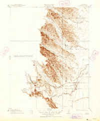
1917 Map of Kurand
USGS Topo · Published 1947About this map
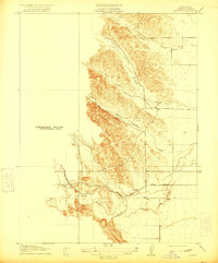
Kurand serves as the focal point for this 1917 topographical survey, situated at the terminus of the Southern Pacific (Fruto Branch) railroad line. This Glenn County landscape transition is defined by the abrupt rise of the foothills, where the flat valley floor meets the drainage networks of South Fork Willow Creek and Nye Creek. The geography here is characterized by a series of narrow valleys and gulches, most notably Stone Valley and the smaller Salt Gulch, which channel seasonal water from the uplands toward the agricultural plains below. The presence of the railroad branch into this terrain highlights the historical importance of the area for transporting resources from the interior foothills out to the main line, providing a detailed look at the rural infrastructure of Northern California just before the mid-century.
Find a feature on this map
11 named features on this map. Tap any name to fly to it.
Don’t see what you’re looking for? This feature index may not catch every label — zoom into the map to look around manually.
Map Details
Editions of this 1917 Kurand Map
3 editions found
Other maps of this area

1904 · Walker Creek
USGS Topo · 1:31,680

1904 · Logan Creek
USGS Topo · 1:24,000

1906 · Maxwell
USGS Topo · 1:62,500

1906 · Willows
USGS Topo · 1:62,500

1914 · Orland
USGS Topo · 1:31,680

1917 · Kurand
USGS Topo · 1:31,680

1917 · Lyman
USGS Topo · 1:31,680

1917 · Logandale
USGS Topo · 1:31,680

1918 · Logan Creek
USGS Topo · 1:31,680

1919 · Fruto
USGS Topo · 1:62,500