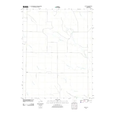
2010 Map of Kutch
USGS Topo · Published 2010About this map
Kutch serves as the primary focal point of this high-plains landscape in Elbert County. The settlement is situated at the intersection of County RD-173 and County RD-14, representing a modest residential pocket within a vast network of section-line roads. This 2010 survey illustrates the characteristic grid of the American West, where gravel and dirt routes such as County RD-181 and County RD-197 delineate the terrain.
Find a feature on this map
21 named features on this map. Tap any name to fly to it.
Don’t see what you’re looking for? This feature index may not catch every label — zoom into the map to look around manually.
Map Details
Editions of this 2010 Kutch Map
This is the sole edition of this map. No revisions or reprints were ever made.
Other maps of this area

1889 · Sanborn
USGS Topo · 1:125,000

1891 · Sanborn
USGS Topo · 1:125,000

1891 · Limon
USGS Topo · 1:125,000

1892 · Limon
USGS Topo · 1:125,000

1893 · Sanborn
USGS Topo · 1:125,000

1954 · Limon
USGS Topo · 1:250,000

1954 · Lamar
USGS Topo · 1:250,000

1957 · Limon
USGS Topo · 1:250,000

1958 · Limon
USGS Topo · 1:250,000

1958 · Lamar
USGS Topo · 1:250,000