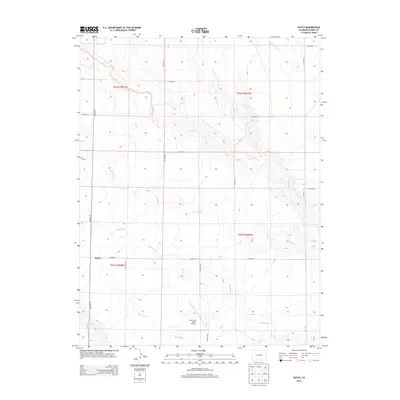
2013 Map of Kutch
USGS Topo · Published 2013About this map
Kutch and the surrounding high plains of Elbert County appear in this 2013 survey as a landscape defined by a complex drainage network. The terrain is incised by numerous seasonal waterways, including South Rush Creek, Antelope Cr, and Mustang Cr, which flow generally southeast across the prairie. This hydrography suggests a region shaped by intermittent water flow, where even small draws like Skull Cr and Lone Tree Cr influence the topography and road placement.
Find a feature on this map
26 named features on this map. Tap any name to fly to it.
Don’t see what you’re looking for? This feature index may not catch every label — zoom into the map to look around manually.
Map Details
Editions of this 2013 Kutch Map
This is the sole edition of this map. No revisions or reprints were ever made.
Other maps of this area

1889 · Sanborn
USGS Topo · 1:125,000

1891 · Sanborn
USGS Topo · 1:125,000

1891 · Limon
USGS Topo · 1:125,000

1892 · Limon
USGS Topo · 1:125,000

1893 · Sanborn
USGS Topo · 1:125,000

1954 · Limon
USGS Topo · 1:250,000

1954 · Lamar
USGS Topo · 1:250,000

1957 · Limon
USGS Topo · 1:250,000

1958 · Limon
USGS Topo · 1:250,000

1958 · Lamar
USGS Topo · 1:250,000