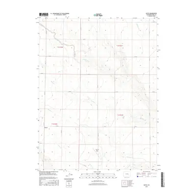
2016 Map of Kutch
USGS Topo · Published 2016About this map
Kutch serves as the primary landmark in this rural section of Elbert County, situated among a network of ephemeral drainage systems that define the High Plains landscape. The area is characterized by a grid-based ranching economy, where section lines are marked by a series of county roads like Co RD 173 and Co RD 185. A significant local aviation feature, the Lone Tree Ranch Airport, is located near the center of the survey area, suggesting the importance of private air travel in this expansive territory.
Find a feature on this map
26 named features on this map. Tap any name to fly to it.
Don’t see what you’re looking for? This feature index may not catch every label — zoom into the map to look around manually.
Map Details
Editions of this 2016 Kutch Map
This is the sole edition of this map. No revisions or reprints were ever made.
Other maps of this area

1889 · Sanborn
USGS Topo · 1:125,000

1891 · Sanborn
USGS Topo · 1:125,000

1891 · Limon
USGS Topo · 1:125,000

1892 · Limon
USGS Topo · 1:125,000

1893 · Sanborn
USGS Topo · 1:125,000

1954 · Limon
USGS Topo · 1:250,000

1954 · Lamar
USGS Topo · 1:250,000

1957 · Limon
USGS Topo · 1:250,000

1958 · Limon
USGS Topo · 1:250,000

1958 · Lamar
USGS Topo · 1:250,000