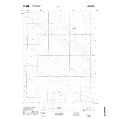
2019 Map of Kutch
USGS Topo · Published 2019About this map
Kutch serves as the primary landmark in this section of the High Plains, situated at the junction of Co RD 173 and Co RD 14. The landscape is defined by a dendritic network of ephemeral waterways, including South Rush Creek, Middle Rush Cr, and Antelope Cr, which carve shallow paths across the arid terrain. These drainage patterns illustrate the region's reliance on intermittent water sources for ranching and agriculture. In the southern portion of the quadrangle, the Lone Tree Ranch Airport stands near Lone Tree Cr, highlighting the importance of private aviation for connectivity in this sparsely populated cattle country. The rectilinear grid of county roads, such as Co RD 197 and Co RD 185, overlays the natural topography, marking the organized township and range boundaries of the Elbert County plains.
Find a feature on this map
26 named features on this map. Tap any name to fly to it.
Don’t see what you’re looking for? This feature index may not catch every label — zoom into the map to look around manually.
Map Details
Editions of this 2019 Kutch Map
This is the sole edition of this map. No revisions or reprints were ever made.
Other maps of this area

1889 · Sanborn
USGS Topo · 1:125,000

1891 · Sanborn
USGS Topo · 1:125,000

1891 · Limon
USGS Topo · 1:125,000

1892 · Limon
USGS Topo · 1:125,000

1893 · Sanborn
USGS Topo · 1:125,000

1954 · Limon
USGS Topo · 1:250,000

1954 · Lamar
USGS Topo · 1:250,000

1957 · Limon
USGS Topo · 1:250,000

1958 · Limon
USGS Topo · 1:250,000

1958 · Lamar
USGS Topo · 1:250,000