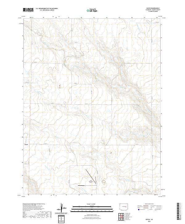
2022 Map of Kutch
USGS Topo · Published 2022About this map
Kutch serves as the primary settlement anchor in this part of Elbert County, a landscape defined by an intricate network of intermittent waterways and prairie ranching. The drainage patterns of the High Plains are clearly visible through the winding courses of South Rush Creek, Antelope Cr, and Mustang Cr, which carve shallow paths across the terrain. A legacy of aviation and land management is evidenced by the Lone Tree Ranch Airport, positioned near the convergence of Lone Tree Cr and Skull Cr. The map reveals a highly structured grid of county roads, such as Co RD 185 and Co RD 22, which dictate the movement across this rural expanse. This 2022 survey illustrates the enduring agricultural character of the region, where water remains the most significant natural feature affecting local geography and settlement.
Find a feature on this map
26 named features on this map. Tap any name to fly to it.
Don’t see what you’re looking for? This feature index may not catch every label — zoom into the map to look around manually.
Map Details
Editions of this 2022 Kutch Map
This is the sole edition of this map. No revisions or reprints were ever made.
Other maps of this area

1889 · Sanborn
USGS Topo · 1:125,000

1891 · Sanborn
USGS Topo · 1:125,000

1891 · Limon
USGS Topo · 1:125,000

1892 · Limon
USGS Topo · 1:125,000

1893 · Sanborn
USGS Topo · 1:125,000

1954 · Limon
USGS Topo · 1:250,000

1954 · Lamar
USGS Topo · 1:250,000

1957 · Limon
USGS Topo · 1:250,000

1958 · Limon
USGS Topo · 1:250,000

1958 · Lamar
USGS Topo · 1:250,000