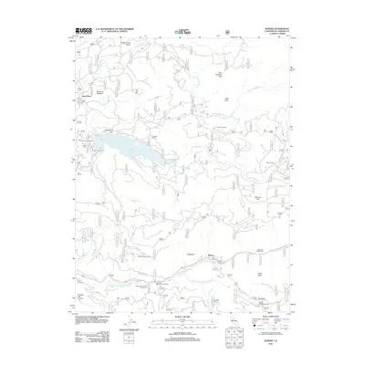
2012 Map of Kyburz
USGS Topo · Published 2012About this map
The Kyburz settlement along the S Fork American River serves as the focal point for this El Dorado County survey. The landscape is defined by the convergence of major waterways, including the Silver Fork American River and the expansive Ice House Reservoir, which dominates the northwestern quadrant. Historically significant sites such as Digger Indian Spring and the El Dorado Ditch indicate the region's complex water management and early human habitation.
Find a feature on this map
42 named features on this map. Tap any name to fly to it.
Don’t see what you’re looking for? This feature index may not catch every label — zoom into the map to look around manually.
Map Details
Editions of this 2012 Kyburz Map
This is the sole edition of this map. No revisions or reprints were ever made.
Other maps of this area

1889 · Pyramid Peak
USGS Topo · 1:125,000

1891 · Pyramid Peak
USGS Topo · 1:125,000

1895 · Pyramid Peak
USGS Topo · 1:125,000

1896 · Pyramid Peak
USGS Topo · 1:125,000

1947 · Sacramento
USGS Topo · 1:250,000

1948 · Sacramento
USGS Topo · 1:250,000

1950 · Riverton
USGS Topo · 1:24,000
1950 · Robbs Peak
USGS Topo · 1:24,000
1951 · Stump Spring
USGS Topo · 1:24,000

1951 · Leek Spring Hill
USGS Topo · 1:24,000