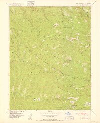
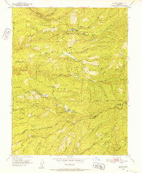
1951 Map of Leek Spring Hill
USGS Topo · Published 1952About this map
Eldorado National Forest defines this high-elevation landscape in the early 1950s, characterized by a series of prominent ridgelines including Mill Creek Ridge and Plummer Ridge. The drainage patterns are distinct, with the Silver Fork American River flowing through the northeast and the North Fork Cosumnes River tracing the southern bounds. Isolated settlements and points of human activity are sparse but notable, such as Morrison, Pilliken, and Plummer. High-altitude water sources like Buckskin Joe Spring, Ono Spring, and Oro Spring are scattered throughout the timbered terrain.
Find a feature on this map
33 named features on this map. Tap any name to fly to it.
Don’t see what you’re looking for? This feature index may not catch every label — zoom into the map to look around manually.
Map Details
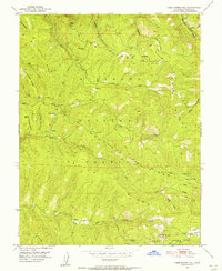
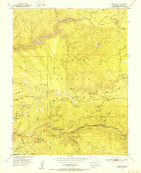
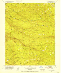
Editions of this 1951 Leek Spring Hill Map
3 editions found

Other maps of this area

1889 · Pyramid Peak
USGS Topo · 1:125,000

1891 · Pyramid Peak
USGS Topo · 1:125,000

1895 · Pyramid Peak
USGS Topo · 1:125,000

1896 · Pyramid Peak
USGS Topo · 1:125,000

1947 · Sacramento
USGS Topo · 1:250,000

1948 · Sacramento
USGS Topo · 1:250,000
1950 · Riverton
USGS Topo · 1:24,000
1951 · Stump Spring
USGS Topo · 1:24,000
1951 · Caldor
USGS Topo · 1:24,000
1951 · Peddler Hill
USGS Topo · 1:24,000