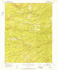
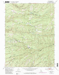
1951 Map of Caldor
USGS Topo · Published 1952About this map
The settlement of Caldor stands as a central point of activity within the El Dorado National Forest in the early 1950s, serving as a hub for both logging and forest management. This survey reveals a landscape defined by an extensive Logging Road network and industrial sites like the Arbor Mine and Spread Eagle Mine near Dogtown Creek. The map records several named stations and flats, including Cooks Station, Hams Station, and Elkins Flat, which mark the sparse human footprint across the high ridges. Along the El Dorado and Amador county line, the topography drops sharply into the canyons of the Middle Fork Cosumnes River and its many tributaries, such as Sopiago Creek and Tiger Creek. For those interested in local history, the map identifies specific historical markers like the Fort Grizzly Site and the Dew Drop Fire Control Station, preserving the locations of early 20th-century fire protection and pioneer landmarks.
Find a feature on this map
43 named features on this map. Tap any name to fly to it.
Don’t see what you’re looking for? This feature index may not catch every label — zoom into the map to look around manually.
Map Details
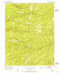
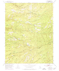
Editions of this 1951 Caldor Map
5 editions found
Other maps of this area

1889 · Jackson
USGS Topo · 1:125,000

1889 · Pyramid Peak
USGS Topo · 1:125,000

1891 · Big Trees
USGS Topo · 1:125,000

1891 · Placerville
USGS Topo · 1:125,000

1891 · Pyramid Peak
USGS Topo · 1:125,000

1892 · Jackson
USGS Topo · 1:125,000

1892 · Placerville
USGS Topo · 1:125,000

1893 · Placerville
USGS Topo · 1:125,000

1894 · Big Trees
USGS Topo · 1:125,000

1895 · Pyramid Peak
USGS Topo · 1:125,000