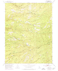
1951 Map of Caldor
USGS Topo · Published 1974About this map
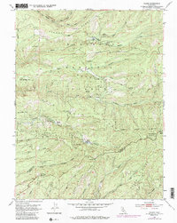
Caldor stands as a focal point in this 1951 study of the Sierra Nevada foothills, situated within the Eldorado National Forest. The landscape is defined by the three primary branches of the Cosumnes River, with Plummer Ridge and Station Ridge dictating the path of travel through the timberlands. Logging operations are evident throughout the terrain, supported by a network of specialized infrastructure including the Caldor Ranger Sta, multiple fire tanks like the Leoni Fire Tank, and dedicated logging roads.
Find a feature on this map
50 named features on this map. Tap any name to fly to it.
Don’t see what you’re looking for? This feature index may not catch every label — zoom into the map to look around manually.
Map Details
Editions of this 1951 Caldor Map
5 editions found
Other maps of this area

1889 · Jackson
USGS Topo · 1:125,000

1889 · Pyramid Peak
USGS Topo · 1:125,000

1891 · Big Trees
USGS Topo · 1:125,000

1891 · Placerville
USGS Topo · 1:125,000

1891 · Pyramid Peak
USGS Topo · 1:125,000

1892 · Jackson
USGS Topo · 1:125,000

1892 · Placerville
USGS Topo · 1:125,000

1893 · Placerville
USGS Topo · 1:125,000

1894 · Big Trees
USGS Topo · 1:125,000

1895 · Pyramid Peak
USGS Topo · 1:125,000