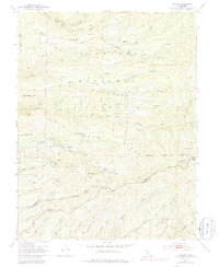
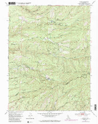
1951 Map of Caldor
USGS Topo · Published 1985About this map
Caldor is the central hub of this mid-century survey, surrounded by the high-elevation industrial activity of the El Dorado National Forest. The landscape is heavily marked by its mining and logging history, with numerous extraction sites including the Arbor Mine, Spread Eagle Mine, and the Louis Jordan Mine. This era was characterized by an extensive network of Logging Roads that carved through the ridges, connecting remote settlements like Elkins Flat and Cooks Station to the primary transit corridors.
Find a feature on this map
51 named features on this map. Tap any name to fly to it.
Don’t see what you’re looking for? This feature index may not catch every label — zoom into the map to look around manually.
Map Details
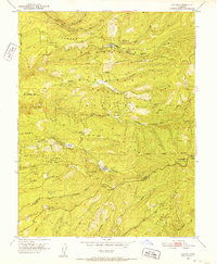
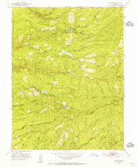
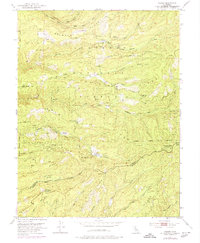
Editions of this 1951 Caldor Map
5 editions found
Other maps of this area

1889 · Jackson
USGS Topo · 1:125,000

1889 · Pyramid Peak
USGS Topo · 1:125,000

1891 · Big Trees
USGS Topo · 1:125,000

1891 · Placerville
USGS Topo · 1:125,000

1891 · Pyramid Peak
USGS Topo · 1:125,000

1892 · Jackson
USGS Topo · 1:125,000

1892 · Placerville
USGS Topo · 1:125,000

1893 · Placerville
USGS Topo · 1:125,000

1894 · Big Trees
USGS Topo · 1:125,000

1895 · Pyramid Peak
USGS Topo · 1:125,000