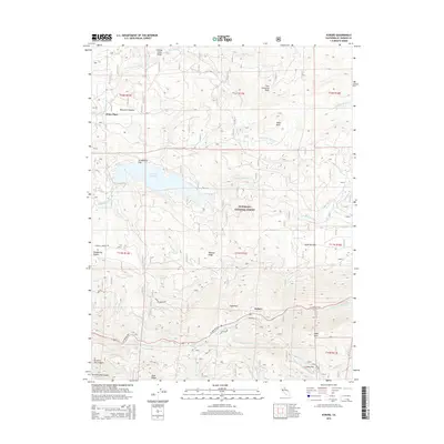
2015 Map of Kyburz
USGS Topo · Published 2015About this map
Eldorado National Forest defines the character of this high-elevation landscape, where the S Fork American River and Silver Fork American River converge near the mountain settlement of Kyburz. This 2015 study reveals the complex hydrology of the region, anchored by the Ice House Reservoir and a network of named waterways including Jones Fork Silver Cr and Peavine Cr.
Find a feature on this map
40 named features on this map. Tap any name to fly to it.
Don’t see what you’re looking for? This feature index may not catch every label — zoom into the map to look around manually.
Map Details
Editions of this 2015 Kyburz Map
This is the sole edition of this map. No revisions or reprints were ever made.
Other maps of this area

1889 · Pyramid Peak
USGS Topo · 1:125,000

1891 · Pyramid Peak
USGS Topo · 1:125,000

1895 · Pyramid Peak
USGS Topo · 1:125,000

1896 · Pyramid Peak
USGS Topo · 1:125,000

1947 · Sacramento
USGS Topo · 1:250,000

1948 · Sacramento
USGS Topo · 1:250,000

1950 · Riverton
USGS Topo · 1:24,000
1950 · Robbs Peak
USGS Topo · 1:24,000
1951 · Stump Spring
USGS Topo · 1:24,000

1951 · Leek Spring Hill
USGS Topo · 1:24,000