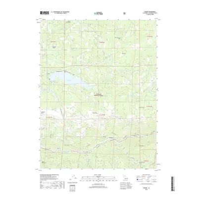
2018 Map of Kyburz
USGS Topo · Published 2018About this map
The S Fork American River carves through the central Sierra Nevada landscape of the Eldorado National Forest, defining the settlement patterns of this mountain corridor. The community of Kyburz sits along the river's edge, shadowed by massive granite landmarks like Sugarloaf and Eagle Rock. The geography is layered with historical transit routes, most notably the Pony Express trail, which winds through the steep terrain alongside modern infrastructure like the El Dorado Fwy. Higher elevations to the north are dominated by the Ice House Reservoir, a significant water feature surrounded by peaks such as Table Rock and Four Cornered Peak. The presence of the El Dorado Ditch reflects the long-standing water management systems essential to the region's development, while numerous flats, such as Strawberry Flat and Atherton Flat, mark the habitable pockets amidst the ravines and ridges.
Find a feature on this map
41 named features on this map. Tap any name to fly to it.
Don’t see what you’re looking for? This feature index may not catch every label — zoom into the map to look around manually.
Map Details
Editions of this 2018 Kyburz Map
This is the sole edition of this map. No revisions or reprints were ever made.
Other maps of this area

1889 · Pyramid Peak
USGS Topo · 1:125,000

1891 · Pyramid Peak
USGS Topo · 1:125,000

1895 · Pyramid Peak
USGS Topo · 1:125,000

1896 · Pyramid Peak
USGS Topo · 1:125,000

1947 · Sacramento
USGS Topo · 1:250,000

1948 · Sacramento
USGS Topo · 1:250,000

1950 · Riverton
USGS Topo · 1:24,000
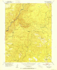
1950 · Robbs Peak
USGS Topo · 1:24,000
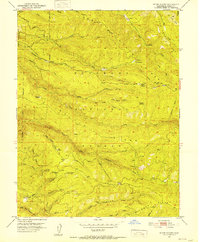
1951 · Stump Spring
USGS Topo · 1:24,000

1951 · Leek Spring Hill
USGS Topo · 1:24,000