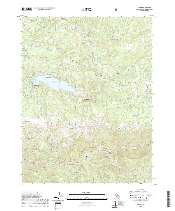
2021 Map of Kyburz
USGS Topo · Published 2021About this map
Kyburz sits along the S Fork American River at the base of Sugarloaf, serving as a central point for historic transit corridors in the Eldorado National Forest. The landscape is dominated by high ridges and peaks, including Cheese Camp Ridge, Table Rock, and Four Cornered Peak. Water management and recreation are evident in the presence of Ice House Reservoir and the El Dorado Ditch, which snakes through the steep terrain.
Find a feature on this map
42 named features on this map. Tap any name to fly to it.
Don’t see what you’re looking for? This feature index may not catch every label — zoom into the map to look around manually.
Map Details
Editions of this 2021 Kyburz Map
This is the sole edition of this map. No revisions or reprints were ever made.
Other maps of this area

1889 · Pyramid Peak
USGS Topo · 1:125,000

1891 · Pyramid Peak
USGS Topo · 1:125,000

1895 · Pyramid Peak
USGS Topo · 1:125,000

1896 · Pyramid Peak
USGS Topo · 1:125,000

1947 · Sacramento
USGS Topo · 1:250,000

1948 · Sacramento
USGS Topo · 1:250,000

1950 · Riverton
USGS Topo · 1:24,000
1950 · Robbs Peak
USGS Topo · 1:24,000
1951 · Stump Spring
USGS Topo · 1:24,000

1951 · Leek Spring Hill
USGS Topo · 1:24,000