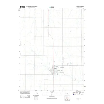
2012 Map of La Crosse
USGS Topo · Published 2012About this map
La Crosse serves as the focal point of this Rush County landscape, where the town's street grid, including 1st St and Oak St, meets the agricultural prairie. The map documents several significant community sites, such as the Rush County Fairgrounds and the central Post Office, which anchor the local social and civic life. The surrounding area is defined by the winding paths of Sand Creek and Mule Creek, highlighting the importance of these watercourses to the regional topography.
Find a feature on this map
22 named features on this map. Tap any name to fly to it.
Don’t see what you’re looking for? This feature index may not catch every label — zoom into the map to look around manually.
Map Details
Editions of this 2012 La Crosse Map
This is the sole edition of this map. No revisions or reprints were ever made.
Other maps of this area

1889 · Larned
USGS Topo · 1:125,000

1891 · Larned
USGS Topo · 1:125,000

1896 · Hays
USGS Topo · 1:125,000

1955 · Great Bend
USGS Topo · 1:250,000

1957 · Great Bend
USGS Topo · 1:250,000

1958 · Great Bend
USGS Topo · 1:250,000

1966 · Rush Center
USGS Topo · 1:24,000

1966 · Nekoma
USGS Topo · 1:24,000

1966 · La Crosse
USGS Topo · 1:24,000

1966 · Hargrave
USGS Topo · 1:24,000